The Munt la Schera Tunnel
The Munt La Schera Tunnel connects the Engadin Valley and Lago di Livigno in eastern Switzerland. Originally built to transport materials for nearby dam construction, it now acts as a single-lane, alternating traffic channel under the Alps.
This is one of Switzerland's narrowest tunnels, yet it remains popular thanks to its scenic location and access to northern Italy (Livigno). In this article, we'll share with our readers information about its location, rules for use, and other useful facts.
Gateway to the Engadin: The Strategic Munt la Schera Tunnel
Originally built to transport building materials for the construction of the nearby Punt de Gall Dam, the Munt La Schera Tunnel was re-purposed for public traffic and opened to the public in 1968. It consists of only a single lane, with traffic controlled in either direction by traffic lights. It connects the Engadin Valley with the Lago di Livigno side within Switzerland, via a 3.4 kilometre tube. Owned and operated by Engadiner Kraftwerke AG, there is a toll station where a fee for use is collected. Online ticket sales are also available. Live news about weather and traffic conditions is available online.
Image (Map) to be created! Exact location and roads to/from
Image File name: Map Munt la Schera Tunnel.webp
Image Title: Map Munt la Schera Tunnel
Munt La Schera Tunnel & Related Tolls
"To fully benefit from the Munt La Schera Tunnel, it is necessary to purchase separate vignettes for the tunnel and access to the Swiss national road and motorway network."
On arrival at Tunnel Munt La Schera, there is a toll station where fees for use are collected. This may also be paid in advance via online ticket sales. In addition to this, use of the Swiss national road network obliges motorists to purchase a Swiss vignette. This allows for automated toll collection, greatly improving travel efficiency.
Elevation and Length of the Munt La Schera Tunnel
Here is a table of interesting information and statistics related to the tunnel:
| Location | Grisons, Switzerland |
| Coordinates | 46°38'6" N to 10°11'55" E |
| Length | 3 394 metres (11,135 ft) |
| Highest and Lowest Elevation | 1 809 metres (5,935 ft) & 1 711 metres (5,614 ft) |
| Number of Tubes and Lanes | Single tube with only one lane |
| *Typical Travel Time @ 80 km/h | 2.5 minutes |
*Please note that the travel time may vary depending on the weather and level of traffic congestion. Time indicated does not include waiting times before entering the tunnel. It is always best to check weather and traffic information prior to travel.
Terms of Use & Restrictions
Safety and obedience of the road tunnel regulations are paramount in this narrow single-lane tunne. The following rules and information will help you traverse the Tunnel Munt La Schera safely:
- Observe the posted speed limit
- With only one lane in operation, traffic in either directions is regulated by traffic lights.
- Bicycles may not pass through the tunnel. In summer, a bike shuttle is available.
- Check the opening times and access to the tunnel and associated alpine passes before travel.
- Always carry a valid document for expatriation.
- Vehicles exceeding 3.6 metres (12 ft) in height and 2.5 metres (8 ft 2 in) in width may not pass through the tunnel.
- It is not allowed to pass through the tunnel, of vehicles higher than mt.3,60.
- During the winter season, it is mandatory for all vehicles to USE WINTER TYRES OR CHAINS.
IN CASE OF EMERGENCY:
- Ambulance: 144
- Police: 117
- Firefighters: 118
- Universal European emergency number: 112
- Swiss traffic information service (TCS) - +41 800 140 140
You can request Roadside Assistance in Switzerland using the following numbers:
- Emergency Call / Vehicle Breakdown Service: 140
- TCS Touring Club Switzerland - Toll free number: 0800 808 114
- TCS Touring Club Switzerland - International number: +41 58 8276316
Munt La Schera Tunnel Current & Live Webcam
The tunnel is open night and day throughout the year. However, on occasion, it may be necessary for the tunnel to be closed temporarily. To improve your chances of a smooth journey, be sure to check Munt La Schera Tunnel weather and traffic congestion on the Munt La Schera Tunnel webcam.
Are there alternative routes to the Munt La Schera Tunnel?
Unfortunately there are no alternative routes that easily substitute the tunnel.
Munt La Schera Tunnel FAQ:
- Length - 3 394 metres (11,135 ft)
- Highest elevation - 1 809 metres (5,935 ft)
- Lowest elevation - 1 711 metres (5,614 ft)
Popular posts
-
 Read full article
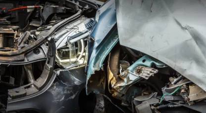
Europe's deadliest countries for driving in 2026
-
Read full article
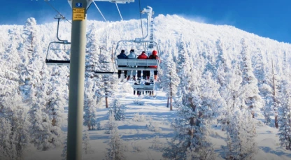
Most Snow Sure Ski Resorts For The 2025/2026 Ski Season
-
Read full article
Belarus drivers pay just 60p a litre for fuel – over 50% less than in the UK
-
Read full article
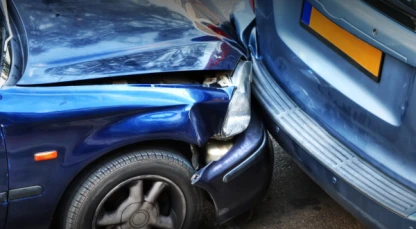
Europe's deadliest countries for driving in 2025
-
Read full article
European Countries with the Most Reckless Drivers